
How Seasonal Water Levels Change Access and Fishing Near Our Future Resort

Barren River Lake is a flood-control reservoir managed by the U.S. Army Corps of Engineers. Water levels are intentionally raised and lowered through the year. These seasonal changes directly affect which boat ramps are usable, how much shoreline is exposed, and where fish hold. For RV travelers based across the road from the lake in Allen County, understanding the pattern helps with trip planning.
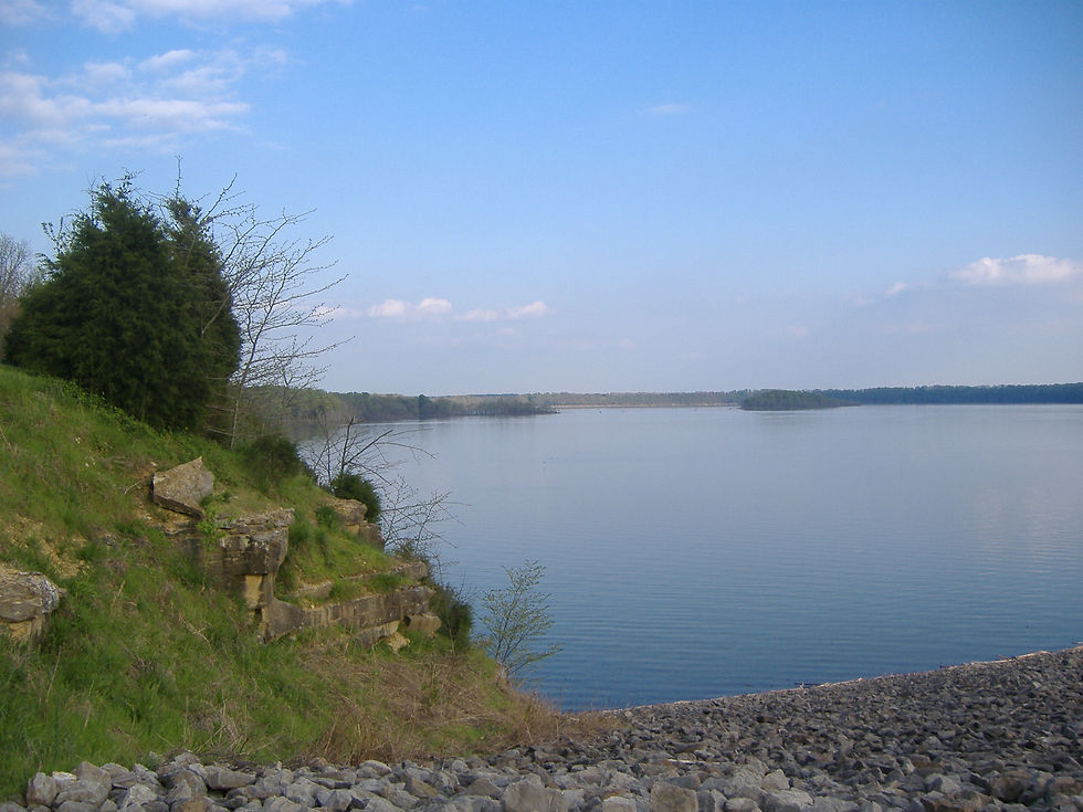
Summer Pool (Roughly Late Spring through Early Fall)
The normal summer pool elevation is 552 feet. At this level the lake covers about 10,000 acres and most public ramps (Baileys Point, Port Oliver, Beaver Creek, and others) are fully usable. Shoreline fishing access is limited by the higher water, but boat access is best. Fishing is productive for bass, crappie, and hybrid stripers around timber, points, and creek channels.
Fall Drawdown
The Corps typically begins a controlled drawdown in mid-to-late September. Levels drop gradually at first, then more steadily toward winter pool (commonly targeted around 528 feet by early December). As water recedes, some ramps become unusable and large areas of shoreline and mudflats are exposed. Shore fishing improves in places, while boat traffic concentrates on remaining navigable water. Fish often move with the changing edges and channels.
Winter Pool and Spring Fill
At winter pool the lake is substantially smaller and shallower in the upper arms. Many ramps are dry or limited. The spring fill usually begins as runoff increases, raising levels back toward summer pool. High water years can temporarily close or restrict facilities even in summer.
What This Means Near the Future Resort
Because the resort sits across the road rather than on the shoreline, changing water levels do not affect the property itself. Guests still depend on public ramps and access points for boating and much of the fishing. Checking current lake elevation (via USGS or USACE) before a trip is the most reliable way to know which ramps will work and what kind of fishing access to expect.
Seasonal level changes are normal management for this lake. They create both limitations and opportunities depending on the time of year. For travelers staying nearby, the practical step is simple: verify the current elevation and any temporary ramp restrictions before heading out.
Comments