
Winter Drawdown at Barren River Lake: What Visitors Should Check Before Going

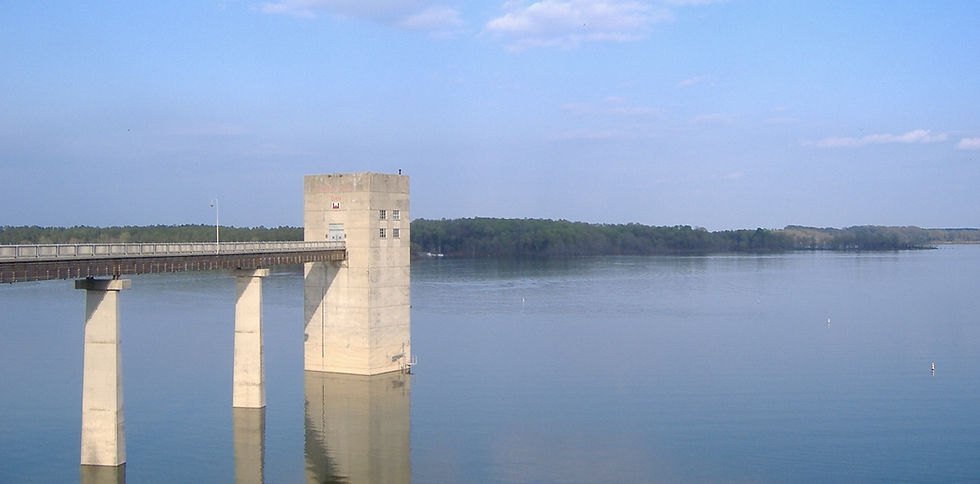
Each fall the U.S. Army Corps of Engineers begins a controlled drawdown of Barren River Lake to create storage capacity for winter and spring runoff. Summer pool is 552 feet; winter pool is typically targeted around 528 feet, with the goal of reaching it by early December. The exact timing and rate can shift with rainfall and operational needs.
What Changes During the Drawdown
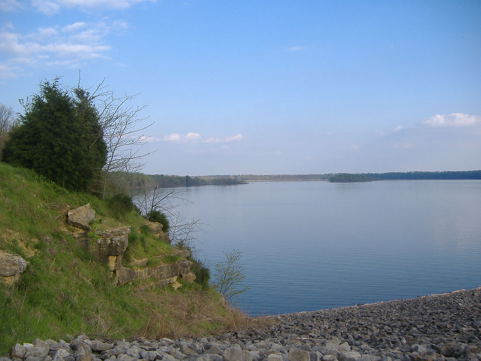
As levels drop, the lake surface area shrinks significantly and large areas of shoreline become exposed. Some public boat ramps become unusable once the water recedes past their usable elevation. The upper arms of the lake grow shallower. Shore fishing access often improves in places, while boat launching becomes more limited.
What Visitors Should Check
Current lake elevation — The most useful single number. Check the USGS gauge (site 03312900) or the USACE Louisville District water management page for the latest reading and any short-term forecast.
Ramp status — Individual ramps at Baileys Point, Port Oliver, Beaver Creek, and other Corps areas can become limited or unusable at lower elevations. Look for current notices from the Corps.
Weather and access roads — Fall and winter weather can affect road conditions and any remaining facilities. Some day-use areas or services may have reduced hours.
Notes for Travelers Staying Nearby
A stay across the road from the lake in Allen County is not affected by the changing shoreline itself. Boat and fishing access still depend on public ramps and recreation areas, so the drawdown mainly changes what is practical to do on the water. Late-fall and winter visits can still work well for quieter camping and shore-based activities if you confirm conditions in advance.
The winter drawdown is routine management for this flood-control lake. Checking the current elevation and ramp status before you go is the simplest way to avoid surprises and plan the right activities for the water level you will actually find.
Comments